Geographic Information System Technician
Duties and Responsibilities
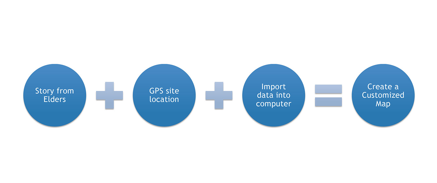
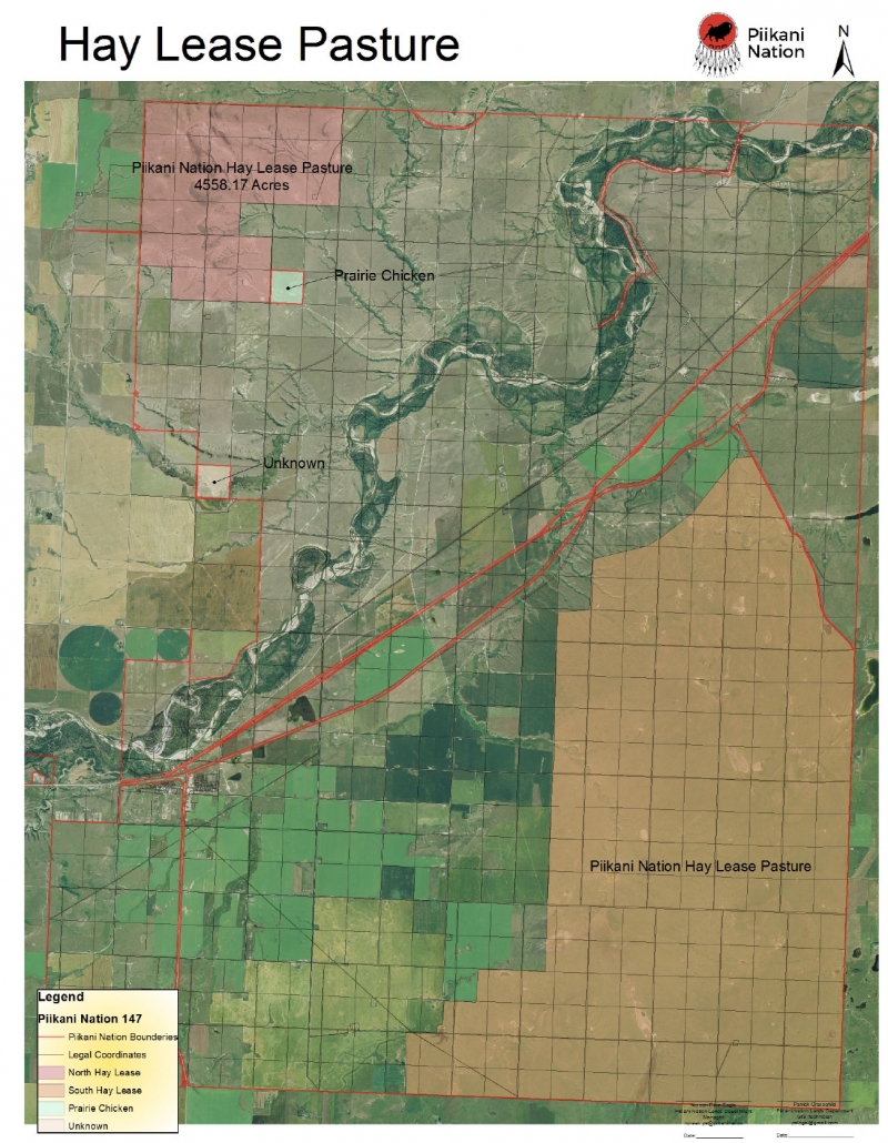
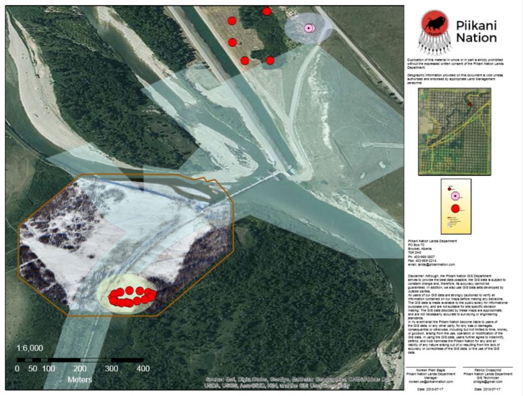
- Make maps and customized Geographic Information Systems (GIS) applications and manipulate date to serve a variety of purposes.
- Read and interpret maps, manipulate and understand digital land data, and manage data entered into a GIS database.
- Gather information in the community on land location (interviewing and site visits) to develop and understand mapping concepts.
- Assist other organizations with land location and provide data and information. No data is gathered when crops are still up. Data to be gathered only during early June and mid-September.
- During the months of June to September GIS will acquire information through google maps and get coordinates for locations.
- Maps to go to manager for approval and sign off along with GIS.
Scroll to top


